Frame. Analyse. Export.
Gridded transforms any address into a design-ready spatial base. Sourced from global GIS and OSM databases, analyze adjacent building massing, simulate shadows, and export vector graphics instantly.
Designed to bypass raw GIS and tedious base preparation.
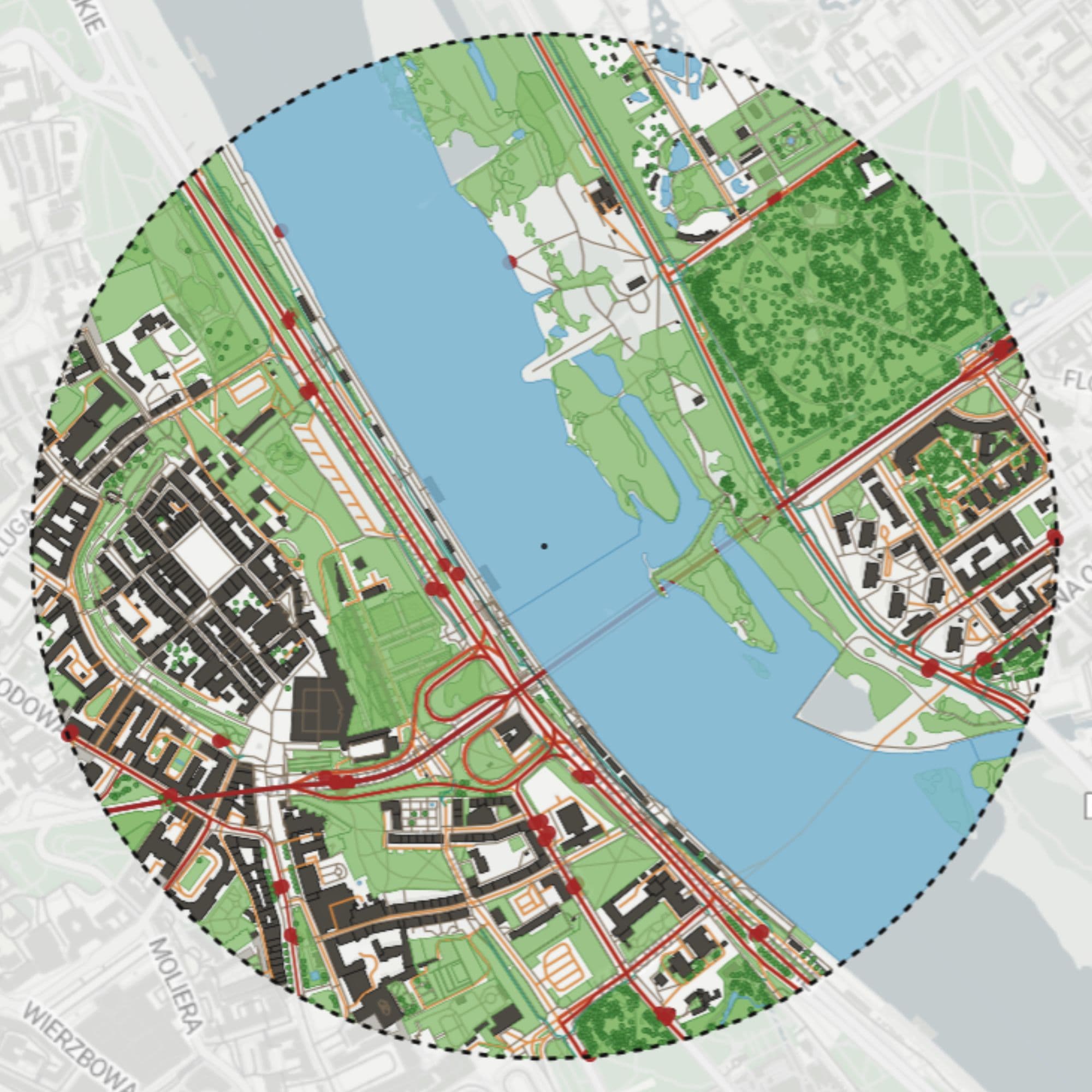
Instant Site Context
Buildings, highways, pedestrian lanes, parks, and waterways coordinates downloaded from OpenStreetMap globally. Skip surveying raw CAD maps.
3D Solar Simulation
Render height-extruded surrounding envelopes instantly. Simulate path lighting, shadow boundaries, and sky obstruction for any time of the year.
CAD & Vector Export
Export layered vector packages. Get ready-to-import DXF for AutoCAD/Revit/ArchiCAD, SVG for Illustrator, and GeoJSON for detailed spatial GIS analysis.
Simple plans tailored for architects.
Free
Perfect for students and trying out the platform.
- 3 total base projects
- OSM 2D Map Layers
- Basic shadow calculations
- PDF export format
Starter
Ideal for freelance architects and context drawings.
- 10 monthly active projects
- 3D building extrusions
- Unlimited shadow studies
- DXF, SVG & GeoJSON exports
- No export watermark
Pro Studio
Built for architectural practices and urban agencies.
- Unlimited context projects
- Custom architectural presets
- Advanced GIS API accessibility
- DXF import overlay support
- Priority base compilation